At the start of the Covid pandemic, a mutual aid group contacted us to ask for support to better understand student needs during the lockdown period.
Specifically, they hoped to identify where, geographically, students were likely facing significant challenges (as determined by indicators including socioeconomic status, internet connectivity, and local COVID-19 infection rates). To achieve this objective, the team compiled publicly available health, census, and geospatial data using geographic information system (GIS) software. This analysis then enabled them to map out regions where students were most likely to require assistance in the form of food or internet vouchers.
Using Geographic Information Systems (GIS) to gather, manage, analyse and visualise spatial and geographic data
Geographic Information Systems (GIS) is a framework for gathering, managing, and analyzing spatial and geographic data. Essentially, GIS integrates multiple types of data, from geographical and topological data to statistical and qualitative information, into a unified system that allows for sophisticated spatial analysis and visualization.
While traditional data sets may contain location information (“attributes”) like zip codes or city names, GIS takes this a step further by including attributes about geographic areas. For example, a common use involves mapping the amount of flooding in a given location. These separate bits of information can then be layered on top of each other for displaying on maps or 3D models. The complexity of this data requires specialized data formats that can hold all the necessary layers, as well as software for collection, manipulation, analysis, and visualization.
What GIS can be used for in the social- and environmental-justice sectors
Earlier GIS systems were primarily used by specialized institutions because they required expensive, high-end hardware and software. However, advances in technology have made GIS more affordable and accessible, enabling it to be run even on consumer-grade computers and smartphones.
The creation of cloud-based GIS solutions has also reduced the need for in-house servers and storage, thereby reducing the potential cost and complexity of deploying GIS technology. Additionally, drones and IoT sensors have made remote data collection more do-able at a lower budget.
For those in the social and environmental justice sectors, this has meant increased access to technologies that can help them achieve their mission.
Land rights organisation Cadasta, for example, notes that GIS tools can “help communities gather digital data required for legal land claims while also enabling real-time mapping and monitoring of critical assets such as biodiversity, forest cover, natural resources, and human settlements” Another organisation, Cultural Survival, has used field-based participatory mapping techniques combined with satellite imagery, aerial photographs, and GIS technology in order to explore economic development strategies for indigenous peoples and their territories in the Amazon Basin.
Potential risks to consider when using GIS technology to map and analyse information about vulnerable populations
With the democratization of these technologies also comes increased data collection on vulnerable populations – which means that organisations using or considering using this technology should do so only if they have considered the the risks involved, and taken steps to mitigate these risks (in some cases, a decision might need to be made to not use the technology at all). The list below is offered as a guide to some of the key areas to consider.
- Privacy and Security: One of the most immediate concerns around using GIS is the potential for the exposure of sensitive personal information. The geolocation capabilities in GIS data can expose details about individuals’ whereabouts and movements. Without rigorous security protocols, this data could be exposed, putting at risk those who may be already vulnerable.
- Ethical Considerations: GIS technologies also raise ethical questions, particularly regarding the potential for misuse of information. Real-time tracking capabilities can limit personal privacy and freedom, especially when used without consent or adequate transparency. Additionally, if the data ends up in the wrong hands, information intended to be used to protect a resource can be used by poachers to easily locate it.
- Discrimination: Another risk lies in the potential for GIS data to perpetuate or even exacerbate existing inequities. If GIS data collection methodologies or interpretation algorithms reflect societal biases, the technology can inadvertently contribute to systemic discrimination.
- Digital Divide: While GIS technologies are becoming increasingly accessible, there is still a considerable gap in who has the resources and knowledge to leverage these tools effectively. This digital divide means that communities lacking the requisite technological infrastructure or training may be further marginalised, thereby failing to benefit from the advantages that GIS technologies can offer.
- Environmental Impact: Lastly, the widespread adoption and use of GIS technologies contribute to the environmental footprint of the digital landscape. The energy-intensive nature of data centres required to process and store voluminous GIS data is a growing concern in the age of climate change.
Should your organisation use GIS technology?
Affordable advanced mapping and real-time monitoring capabilities can empower organisations in the social- and climate-justice sectors to track and visualize trends and allocate resources efficiently. However, it’s important to remember that with more advanced data collection and practices comes increased risks, particularly for the privacy, security, and well-being of already vulnerable populations. Ethical questions around consent and potential misuse of data need to be surfaced early. It will be crucial for organisations to take the time at the inception of any project that uses geospatial data to carefully assess potential risks and develop strategies for their mitigation.
If you’d like to learn more about GIS systems, our friends at CartONG have made a toolkit on working with GIS: https://cartong.pages.gitlab.cartong.org/learning-corner/en/intro_gis
If you’re working for an organisation focused on environmental or social justice, you’re also welcome to schedule a no-fee call with us to talk through your ideas! We look forward to hearing from you.
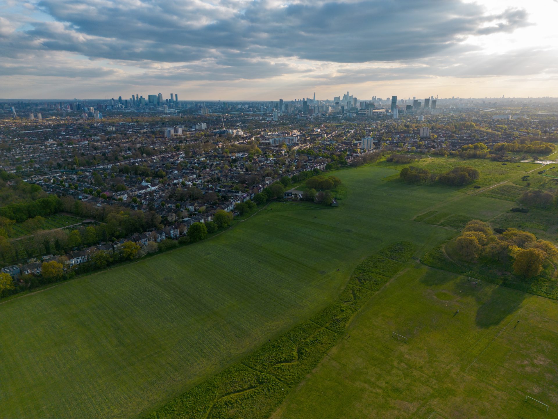
Photo by Suho Media on Unsplash

