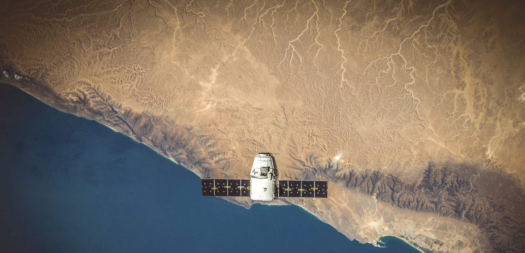
The Engine Room’s Library collects our learnings about using data and technology for social change in a manner that is shared, open, and straightforward. Each Library entry is designed to be practical and point readers to more detailed resources and next steps. We’ve just finished working with Robin Pierro to create an introduction on using satellite imagery for human rights monitoring.
In 2009, Physicians for Human Rights and the American Association for the Advancement of Science collaborated to review satellite imagery of Dasht-e-Leili, Afghanistan. Their aim was to determine the location of alleged mass graves in the Sheberghan area of northern Afghanistan. Using satellite imagery taken between 2000 to 2007, the two groups assessed changes to the ground in suspected mass grave locations, ultimately helping confirm the excavation of two grave sites in Sheberghan.
Digital data and human rights research
Cases like the one above prove the usefulness of satellite imagery for human rights monitoring, and continue to compel human rights researchers to turn to digital data as a complementary research source. At the Engine Room, we’ve been thinking about the role of digital data for a while; we collaborated with Amnesty International and Benetech to put together a guide to help researchers integrate digital data, such as satellite imagery, into human rights research. That initiative resulted in the creation of Datnav, a resource that has been translated into Spanish and Arabic. Many groups continue to use digital data to monitor past and present human rights abuses, and the continued engagement looks promising. One of these forward-looking programs comes from Amnesty International, who are training the next generation of human rights researchers with their Digital Verification Corps.
Using satellite imagery for human rights monitoring
Our newest Library entry introduces concepts and technologies for human rights researchers interested in using satellite imagery to monitor and investigate human rights abuses and violations of international humanitarian law. This Library entry is complementary to our previously published entry on using satellite imagery related to rainforest issues, land rights and indigenous rights.
This new Library entry on satellite imagery is designed for human rights organisations considering using satellite imagery in their documentation work. It was written and researched by Robin Pierro, and is based on Robin’s MA thesis at the European Inter-University Centre for Human Rights and Democratisation. The research for the thesis included a survey with 66 human rights researchers and over 30 interviews with technology and fact-finding experts. We met Robin when she interviewed us during research for her thesis, and we’re thrilled to share a shorter version that she wrote for us in our Library.
Read our latest Library entry on using satellite imagery for human rights monitoring
About the Library
As part of our philosophy of reuse and replication, we publish our research as entries in the same open format on our Library. The Library aims to help build our collective knowledge of how technology can help activists and organisations.
The Library has entries in Spanish, Portuguese, French, Bahasa and English, is responsive (unlike a PDF), and is designed to let people find and reuse content quickly and easily. Topics range from drones and messaging apps to participatory budgeting – and there are more entries coming soon!
Check out more guides from The Engine Room’s Library
The Library code and content is available on Github, and all the content is Creative Commons-licensed. We’ll keep you updated through our blog and Twitter feed whenever new entries are added.
If your research could help activists and organisations use data and technology more effectively, and you would like to work with us to publish your research for a different audience, get in touch.

